 litwarden ← Back to 2026-04-10 briefing
Satellite Coverage
Normal 2026-04-10
Summary
Satellite analysis fresh (latest 2026-04-10 15:02:17 UTC).
Why this matters
Activity at military sites — vehicle movement, construction, equipment staging — can indicate preparation, rotation, or capability changes.
What we saw


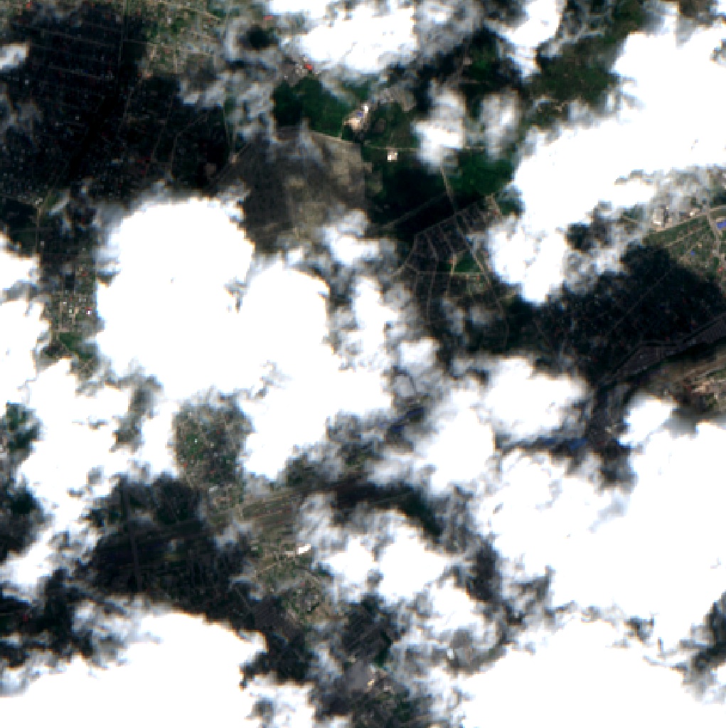
Morozovsk-airbase activity
Radar: No change Exposed ground detected

Brest-garrison activity
Radar: No change


Saki-Novofedorovka activity
Radar: Minor change Fuel activity 4%


Millerovo-airbase activity
Radar: No change


Baranovichi-Belarus activity
Radar: No change Fuel activity 3%


Alabino-training activity
Radar: Minor change


Mulino-training activity
Radar: Moderate change


Pogonovo-training activity
Radar: Moderate change


Voronezh-Malshevo activity
Radar: No change Fuel activity 4%


Chernyakhovsk-airbase activity
Radar: No change


Nizhny-Tagil-UVZ activity
Fuel activity 5%


Gusev-garrison activity
Radar: No change Fuel activity 2%
How sure we are
Last data: 2026-05-24 15:06 UTC
Basis: Sentinel-2 optical + Sentinel-1 SAR (revisit ~5 days)
Limitation: Cloud cover can block optical imagery. SAR provides backup but lower interpretability.
How we know
We analyze Sentinel-2 optical imagery (10m resolution) and Sentinel-1 SAR radar of monitored military sites. Changes are detected by comparing current imagery against seasonal baselines.
Primary source: Copernicus Sentinel-2 / Sentinel-1